
Find Oakley Street Records Step by Step
The useful Oakley street directory trail begins with an exact address. Normalize the number and street name, then search the county property tools. A map can locate the parcel even when a text search fails. Once the APN is stable, use the lawful Assessor channel for ownership evidence, carry the legal description into the recorded-document index, and date each deed before moving backward. The final layers are voter information, city files, and historical directories, each with a different access rule.
The order matters because a street name alone can point to several parcels or old place labels. It also prevents a map, tax bill, or deed from being treated as a complete household list.
- Enter the normalized street address in ParcelQuest Lite. If the match is weak or vacant land has no useful street line, use CCMAP to click the parcel and note its APN.
- Record the situs address, legal or subdivision context, lot and building facts, and assessed values. These facts describe the parcel, not every resident.
- Use the Contra Costa Assessor’s public counter or a proper request for the assessed owner and mailing address. Keep situs and mailing fields distinct.
- Take the APN, vesting name, and legal description to the Clerk-Recorder index. Follow the acquisition deed, then search the seller as a prior grantee.
- Use My Voter Status only for the matching voter’s own registration or a permitted file purpose. For past households, use library directories, census schedules, and newspapers.
When the street question turns into a question about one person, the Oakley resident lookup route supplies the identity checks. The street directory remains focused on place and address.
ParcelQuest and CCMAP for Oakley Addresses
Contra Costa gives an Oakley street directory search two complementary map tools. ParcelQuest Lite accepts an APN or street address. CCMAP adds parcel geometry, aerial imagery, contour lines, map PDFs, physical facts, and a radius selection. Online owner names are intentionally suppressed, so these tools establish the parcel key and neighborhood shape before the ownership step at the counter.
| APN | Use the county parcel number as the stable key, especially for vacant land. |
|---|---|
| Street address | Normalize the number and name; incomplete lines may fail even when the map can locate the parcel. |
| Identify parcel | Click a polygon to open parcel facts and map references. |
| Radius selection | Assemble nearby APNs around a target parcel for a defined map distance. |
| Assessor map PDF | Use boundaries and labels to compare a street line with the recorded parcel. |
| Aerial and contours | Physical context only; imagery is not proof of occupancy or identity. |
The county’s CCMAP parcel viewer is the map entry point, while the Assessor property page explains the web suppression and counter products. The map view is most useful when a street has a long run of parcels or when an older legal description no longer matches modern wording.
The county’s captured maps-and-records view shows the public map path that supports an Oakley address search.
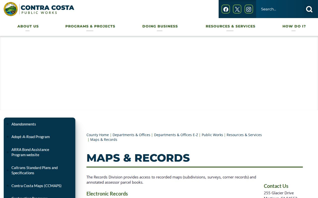
Use the map to collect APNs, then move to the record keeper that can identify an owner or transaction. The map itself remains a geometry tool.
Note: A radius map returns nearby parcels, not a roster of the people who occupy those parcels.
Oakley Street Records by Address
An Oakley street directory is strongest when its rows say what the source can establish. The property row describes land and the lawful owner channel. The deed row describes a recorded transaction. A permit row dates work. A court or voter row has a separate purpose and may not be browsable by street. Use the APN and address as bridges, not as permission to merge unlike records.
| Record Set | Keeper | What It Shows | Access |
|---|---|---|---|
| Parcel facts and map | Assessor and CCMAP | APN, situs, lot, building facts, values, adjacent geometry | Free web tools; owner names absent online |
| Assessment roll | Contra Costa Assessor | Assessed owner, mailing address, values, exemptions where disclosable | Public counter or proper request |
| Deeds and liens | Clerk-Recorder | Grantor, grantee, type, date, recording number, legal description | Index, copies, and counter |
| Permits and code | Oakley Community Development | Project, address, applicant, contractor, status, inspections | OCAP, OnDemand, or targeted request |
| Historical directory | Library and archives | Past names, addresses, household clues, and local context | Catalog, branch, microfilm, archive |
Recorded documents can be searched by people, document type, and legal description, but an exact online cutoff was not verified. Contra Costa Public Works’ maps-and-records route can help with the survey, subdivision, and map side of an address question. When the index stops, the last instrument number, book and page, and legal description make a counter or copy request more useful than a guessed year.
Mailing Address Versus Oakley Situs
Situs means the physical parcel location. A mailing address is where tax correspondence goes. They may match, but a mismatch can reflect a trust, a different mailing choice, a post office box, or another ownership arrangement. An Oakley street directory should print those fields as separate facts. Combining them creates false certainty about who lives at the property or where a person receives mail.
The Contra Costa Treasurer-Tax Collector accepts a full 10-digit APN or situs address and provides property-tax details, payment history, and bill information. Its four rolls are secured, unsecured, redemption, and supplemental. The data updates at least weekly, but a tax bill is not a resident roster. The Treasurer’s office at 625 Court Street, Room 100, Martinez, handles walk-in service on weekdays and publishes a separate contact channel for questions.
- Situs
- The physical place tied to a parcel.
- Mailing address
- The destination for tax or county correspondence, which may be elsewhere.
- Legal description
- The formal land description used when a street line changes or is incomplete.
- Parcel facts
- Map, lot, building, and value details that describe land rather than a household.
Oakley Ownership at the Assessor Counter
Owner names do not appear on the public web card, so the ownership step in an Oakley street directory is a counter or request task. Bring the APN, situs address, and a clear record purpose. The research lists a $3 assessor map page plus $2.50 mailing, a $50 prepared radius search, a $1-per-page property-information printout, and $7.50 per parcel for property characteristics. Verify the current fee schedule before ordering.
The Contra Costa Assessor office page provides the official route. When a mailing address is available, treat a match to the situs as supporting evidence only. A different mailing address can identify a separate correspondence location, but it does not prove occupancy at either address.
The captured Assessor office view connects the county service to the property tools used in an Oakley street directory search.
The image is a reminder to keep the public counter in the chain. The online map supplies an APN; the lawful county channel supplies the owner field.
Oakley Permits and Code Cases
Oakley Community Development adds a city-created address trail after incorporation. OCAP covers building and encroachment permits, planning applications, grading or improvement plans, and business or vendor licenses. The signed-in “My Work” dashboard can show application, review, issuance, inspection, fee, document, report, and license details. A permit applicant, owner, or contractor is a project participant, not automatically a current resident.
Code complaints travel through OnDemand, phone, email, or a public-record request. Staff may document conditions, send a Notice of Violation, and keep inspection, photo, citation, and appeal material. Complainant details and enforcement-sensitive material can be withheld. Ask for closed cases by address and date, and name the likely department in the request.
The Oakley Civic Access Portal is shown in the captured permit view.
OCAP gives a current project trail, while a city request supplies the fallback when a record is closed, migrated, or not exposed in the public screen.
Note: Oakley incorporated in 1999, so earlier permits and land-use records may belong to Contra Costa County rather than City Hall.
Oakley’s MARSH Street Grid
Oakley’s original 1898 ten-block plat used Main, Acme, Ruby, Star, and Home crossed by First, Second, and Third. The first letters of the five named streets spell MARSH, honoring Randolph Marsh. That pattern is a useful historical check when an old scan, map label, or newspaper text is hard to read. It can also help distinguish a true street reference from an OCR error.
Modern Oakley grew from Live Oak, Oakley, Iron House, and El Rancho. A catalog, census, deed, or newspaper may use one of those older place labels instead of the city name. Search the old term beside the family name, then verify the parcel or legal description before linking the result to a modern street.
Street continuity can fail when a road is widened, a subdivision is recorded, or a highway alignment changes. Main Street was an older at-grade Highway 4 segment later relinquished to the city. The legal description and recorded map are better anchors than a street label alone.
Oakley Deeds Along a Street
A deed index gives the street directory its backward property trail. Start with the APN or legal description and the current lawful owner channel. Find the acquisition deed, record its document number and date, then search the seller as a grantee. Repeat until the index stops. Deeds of trust, liens, reconveyances, releases, and maps may appear beside the chain, but they show a legal or financial event rather than a list of household members.
The Contra Costa Clerk-Recorder is at 555 Escobar Street in Martinez and can be reached at 925-335-7910. The Contra Costa Core service hub is the official recorded-document and vital-service entry point. It did not expose a verified general web cutoff in the research, so the last known book, page, instrument, and legal description should travel with any counter request.
Public Works’ Laserfiche Weblink adds subdivision maps, records of survey, corner records, and annotated assessor parcel books. Use CCMAP for the APN, read the red survey reference on the parcel-book page, and then search the recorded map by tract or subdivision number. A map can show an easement created at that time, not every later change.
Historic Oakley Reverse Directories
Older reverse or criss-cross directories can turn a house number into a name, but Oakley’s exact local run is not verified. The library research note says to ask Oakley, Antioch, and Pittsburg branches for titles under “Oakley (Calif.) - Directories” and inspect each title page. The verified Library of Congress volume is a Contra Costa County telephone directory from March 1949 through September 1950 that explicitly includes Oakley. It is a concrete anchor, not an exhaustive run.
Photograph the title page, coverage statement, abbreviation key, alphabetical section, and reverse section before transcribing an entry. A directory line can carry a name, residence address, business or occupation note, spouse mark, owner mark, or “widow” notation, but each symbol must be read from the volume itself. The historical collection workflow is expanded on the Oakley directory book page.
- Criss-cross directory
- A street-order section that can be read from house number to listed occupant or business.
- Householder index
- A name or household finding aid that may not include every occupant.
- Abbreviation key
- The volume’s own explanation of marks and short forms; photograph it first.
What Oakley Street Records Cannot Show
No public street directory can promise a full household list. Non-owner occupants, children, visitors, unlisted voters, utility customers, and people protected by a confidentiality program may not appear. DMV address data is restricted under the federal Driver’s Privacy Protection Act. Voter information is not a casual street-browse source. A permit, deed, or tax record can identify a participant in a property event without identifying everyone who lives there.
Lawful use. Oakley street and address records are suitable for personal history, property curiosity, civic research, and family work. Do not use an address trail to stalk, harass, intimidate, or harm anyone.
If an address is protected, stop at the boundary the custodian gives. The California Safe at Home program supplies a substitute mailing address and confidential forwarding for eligible participants, but it is not a retroactive eraser. The right result in an Oakley street directory search may be a parcel fact, a blank owner field, or a documented record limit rather than a person’s name.