
Oakley Neighbors Around One Address
The block lookup question has several official and voluntary layers. CCMAP supplies parcel geometry and adjacent APNs. The Assessor supplies an ownership channel at the counter or by request. The Recorder supplies transaction history. Oakley city records can show permits or closed code matters. Voter data is restricted, and community groups control their own contacts or rosters.
| Source | What It Shows About a Block | Access |
|---|---|---|
| CCMAP | Parcel outlines, APNs, physical facts, aerial context, and radius geometry | Free map; owner names absent |
| Assessor roll | Assessed owners, mailing addresses, values, and exemptions where disclosable | Counter or proper request |
| Clerk-Recorder | Deeds, liens, releases, maps, and transactions affecting selected parcels | Index, copies, and counter |
| OCAP and code records | Projects, inspections, status, and closed enforcement history by address | Portal, OnDemand, or targeted request |
| Voter file | Registration data only for approved purposes | Not routine block browsing |
| HOA or civic contact | Voluntary officers, events, and public contact details | Organization-controlled; member lists private unless published |
A map-based neighbors search should state which row produced each fact. A parcel number is not a person, and an organization contact is not a member list.
Map Oakley Neighbors by Parcel
CCMAP is the best official block tool in the research. Search or click the target parcel, zoom until the adjoining polygons are clear, and record each APN. Use the radius selection when a defined distance matters. Keep the same map scale and parcel fields for every nearby lot so the final set is consistent.
The map reveals geometry, not a household. Do not infer identity from cars, aerial imagery, names, or visual activity. Move from APN to the lawful Assessor channel if ownership matters, then to the Recorder if a deed or transaction matters. A nearby parcel may sit across a city, district, or postal boundary, so check the relevant layer before grouping it with the target.
- Normalize the target address and locate its APN in CCMAP or ParcelQuest Lite.
- Click each adjoining polygon and save APN, situs, parcel facts, and map references.
- Use radius selection only when the distance or comparison set is defined in advance.
- Ask the Assessor for permitted ownership information by APN, keeping mailing and situs fields separate.
- Use deeds, permits, court records, or voluntary civic contacts only for the question each source can answer.
Note: Adjacent parcels identify the shape of a block, while resident evidence requires a separate custodian and a dated source.
Oakley Neighbor Radius Search Compared
Oakley neighbors can be assembled in two ways. CCMAP’s radius tool identifies parcels within a selected distance. The Assessor offers a prepared radius search for $50. The first is a free map workflow; the second is a county product. Neither automatically supplies a full list of people at the selected addresses.
| CCMAP radius | Map-selected parcels, APNs, physical facts, aerial and contour context. |
|---|---|
| Assessor radius report | Prepared county radius product; research notes a $50 fee to verify before ordering. |
| Ownership question | Use the lawful Assessor counter or request for the permitted owner channel. |
| Household question | Use historical, voluntary, or record-specific sources; do not treat parcels as rosters. |
Define the radius, date, and desired fields before collecting results. That makes a block search reproducible and keeps a map comparison from sounding like an identity claim.
Oakley Neighbor Records Are Not Households
A parcel can have an assessed owner, a mailing address, a trust, a lien, a permit applicant, and several people who never appear in the property record. Children, visitors, non-owner occupants, unlisted voters, and protected participants may be absent. Utility accounts and DMV address data are not public neighbor directories.
That limit is central to Oakley neighbors research. An address can support a property-history question or a block map without revealing who is present each day. If a resident’s name is needed for a lawful family or civic purpose, begin with a record that actually contains a person and use two dated identifiers before drawing a conclusion.
Map rule. Use CCMAP for parcels, the Assessor for its lawful owner channel, and voluntary organizations for contacts they choose to publish.
Oakley Neighbor Ownership Records
Contra Costa’s online property tools suppress every owner name even though the assessment roll remains public through other channels. Start with APNs from the block map, then ask the Assessor counter or a proper request for the permitted ownership and mailing information. The published counter products include a property-information printout, property characteristics, assessor map pages, and a prepared radius search.
For transactions, use the APN, legal description, and name variants in the Clerk-Recorder index. Deeds show a transfer or interest, not present occupancy. The Treasurer-Tax Collector can show tax details, payment status, and bill-mailing information, but a tax record is not an Oakley neighbors list. Keep every record labeled by its custodian and date.
A full named-street chain belongs on the Oakley street directory page. A block lookup should stop at the immediate parcel set.
Oakley Projects and Code Records
Oakley Community Development can add public project clues around a block. OCAP covers building and encroachment permits, planning applications, grading and improvement plans, and business or vendor licenses. The signed-in dashboard can show application, review, issuance, inspection, payment, document, report, and license information. Code records can include an address, inspection, citation, photograph, notice, or appeal.
Closed-case requests should name the address, APN, date range, and record type. Complainant details, active investigation material, and other exempt information may be withheld. The city’s enterprise-system catalog identifies NextRequest and the Citation Processing Center as useful request-writing clues.
The Oakley Community Development page is represented by the captured city-resource view.
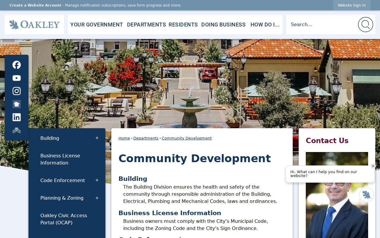
The city resource connects a block question to the proper permit and planning channel without turning a project participant into a resident claim.
Oakley Neighbors and Voter Data
California My Voter Status is identity-gated self-service. It checks the searcher’s own registration and returns matched status, party preference, districts, polling or vote-by-mail information. It is not a public way to browse Oakley neighbors by address. Voter affidavits and sensitive identifiers are confidential except for defined election, scholarly, journalistic, political, or governmental purposes.
The statewide voter-file application requires applicant identity, stated purpose, identification, original signature, delivery choice, and compliance with restrictions. The research records a 7 to 14 business day review and fees that vary by record type and request size. A request for everyone on a street is expressly not the same as a specific-voter request.
Use parcel facts, public council or planning materials, and voluntary community contacts for ordinary block research. Do not describe a voter file as a neighborhood roster.
Oakley HOAs Stay Outside City Records
Oakley states that it cannot enforce private HOA covenants. Association records therefore do not become City records simply because an association sits inside Oakley. A neighborhood association may publish an officer, event, or contact channel, but its member list and internal records stay with the organization unless it chooses to disclose them.
That distinction matters when a block search reaches the community layer. City Council and Planning Commission materials may name speakers, applicants, commissioners, or public agenda items. They do not replace a private association directory. Use the city’s public pages for public civic activity and ask an organization directly about a published contact or event.
Never infer association membership from a parcel, street, surname, or district label. A maintenance district or community facilities district is an assessment and service geography, not a neighborhood roster.
Oakley Neighbors and Voluntary Contacts
Voluntary sources can answer a neighbor question in a more human way, but only when the organization publishes the contact. Friends of Oakley Library, National Night Out block events, public school or PTA contacts, congregations, clubs, and volunteer groups may offer a place to reconnect. Modern rosters remain private unless an organization elects to publish them.
The Oakley Library location page is shown below because the branch is a public community contact, research desk, and route to local-history help.
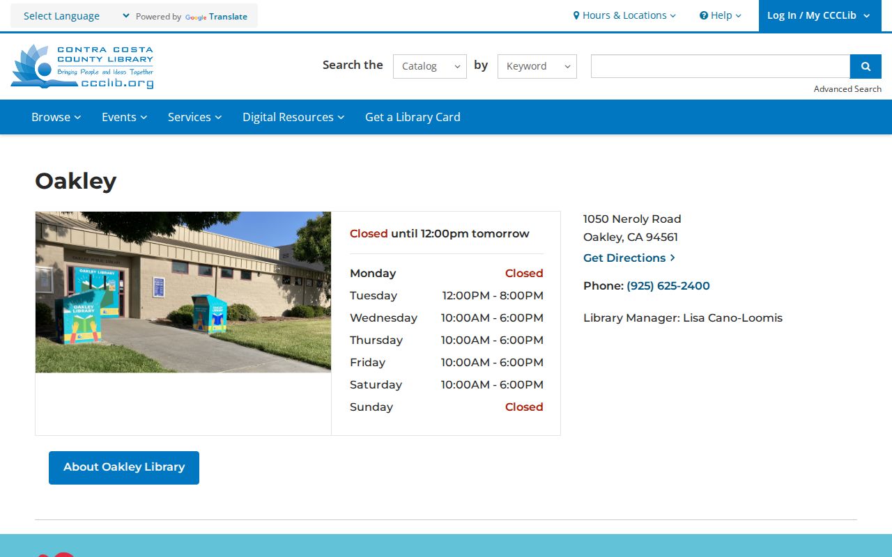
The library can point to public databases, newspapers, yearbooks, and Local History Connection without releasing private member information.
For historical neighbors, search school yearbooks, graduation lists, local papers, church references, and family files under the four older Oakley place names. A public contact can open a conversation; it cannot certify who lives nearby.
Privacy Limits on Oakley Neighbors
California’s Safe at Home program provides a substitute mailing address and confidential forwarding for eligible survivors and other covered participants. Protected voter addresses, confidential marriages, adoption files, driver information, and certain official addresses carry additional limits. A block map may still show a parcel while a person’s name or mailing address remains protected.
| Official roll | Compiled commercial profile | Better use |
|---|---|---|
| Created by a named custodian with a defined record purpose | Combines public and commercial data from unknown update cycles | Use the official source to confirm a dated fact |
| May omit protected or exempt information | May merge same-name people or keep stale addresses | Treat any unverified profile only as a lead |
| Has a request, copy, or correction channel | May have its own opt-out and data practices | Contact the source that created the record |
Lawful use. Oakley neighbors research is for personal history, civic curiosity, family reconnection, and property context. Do not use an address or name to stalk, harass, threaten, intimidate, or harm anyone.
When a custodian identifies a protected record, stop. A blank result can be the correct result. The responsible next step is a narrow request, a voluntary contact, or a different public source that answers the same lawful question without exposing protected information.
Note: A block lookup is complete when its parcel set and source limits are clear, not when it produces the most names.